LiDAR (Light Detection and Ranging) technology has been around for decades, but recent advancements in LiDAR drones have transformed the way we collect data and map our surroundings. LiDAR drones are unmanned aerial vehicles (UAVs) equipped with LiDAR sensors that use laser pulses to create precise 3D maps and models of the environment. In this article, we will explore the capabilities of LiDAR drone technology and its impact on remote sensing and data collection.
What is LiDAR?
LiDAR is a remote sensing technology that uses laser light to measure distances and create precise 3D maps of an environment.
It works by emitting a laser beam and measuring the time it takes for the beam to reflect off of an object and return to the sensor.
The data collected by LiDAR sensors can be used to create high-resolution 3D models of terrain, buildings, vegetation, and other objects.
How do LiDAR drones work?
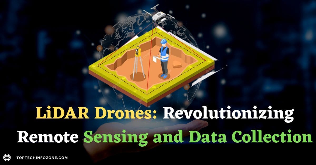
LiDAR drones use a similar technology to ground-based LiDAR, but with the added advantage of being able to collect data from the air.
The drones are equipped with a LiDAR sensor that emits laser pulses in a specific direction. These pulses bounce off of surrounding objects and return to the sensor, which measures the time it took for the pulse to return.
The data collected from these pulses is then used to create a 3D map of the environment.
Brief history of LiDAR drones
LiDAR technology has been around for several decades, but it was only recently that it became accessible to the drone industry.
The first LiDAR sensors were bulky and expensive, which made them unsuitable for drone use.
However, as the technology advanced, LiDAR sensors became smaller, lighter, and more affordable, making them a viable option for drones.
In 2012, Velodyne, a leading LiDAR sensor manufacturer, released the first lightweight, 360-degree LiDAR sensor, the HDL-32E. This sensor was a game-changer for the drone industry, as it allowed for high-resolution 3D mapping and obstacle avoidance in real-time.
Soon after, other LiDAR sensor manufacturers, such as Riegl and Sick, also started producing lightweight and affordable LiDAR sensors for drones.
Importance of LiDAR drones in various industries
LiDAR drones, or Light Detection and Ranging drones, have gained significant popularity in recent years for their ability to capture accurate and detailed data.
LiDAR technology works by emitting laser pulses that bounce off objects and return to the drone, creating a three-dimensional map of the area.
This technology has proven to be a game-changer in various industries, offering more efficient and precise data capture than traditional methods.
In this article, we will discuss the importance of LiDAR drones in various industries and their potential applications.

Construction
One of the most significant applications of LiDAR drones is in the construction industry.
LiDAR technology enables drones to capture detailed topographical data, which is critical in designing and building structures.
This technology also helps construction teams identify potential obstacles and plan the placement of equipment and materials.
Agriculture
LiDAR drones can also revolutionize the way we approach agriculture.
By using LiDAR technology, farmers can capture precise data about their crops, such as growth rates, moisture levels, and plant health.
This data can then be used to optimize crop yield, reduce waste, and make better-informed decisions about crop management.

Environmental Conservation
LiDAR drones can also be useful in environmental conservation efforts. The technology can be used to map and monitor areas of interest, such as forests, wetlands, and wildlife habitats.
This information can help conservationists track changes over time and make better-informed decisions about resource management.

Surveying and Mapping
LiDAR drones are also being used in surveying and mapping applications. The technology can capture precise measurements of terrain, buildings, and other structures.
This information can then be used to create detailed maps, which are essential for various industries, including urban planning, transportation, and infrastructure development.
Mining
Mining is another industry that can benefit greatly from LiDAR drones.
LiDAR technology can be used to create detailed maps of mine sites, which can help mining companies identify potential hazards and optimize their operations.
The technology can also be used to monitor environmental impacts and improve safety measures.
Advantages of LiDAR drone technology
LiDAR drone technology offers numerous advantages over traditional methods of remote sensing and data collection. Some of the key advantages are:
Accurate remote sensing and data collection capabilities: LiDAR drones use laser pulses to accurately measure the distance between the drone and objects on the ground, creating high-resolution 3D maps and models of the environment.
This level of accuracy is not possible with traditional methods such as satellite imagery or ground-based surveys.
Cost-effectiveness compared to traditional methods: LiDAR drones are significantly cheaper to operate than traditional methods of remote sensing and data collection.
They require fewer personnel and equipment, and can cover larger areas in less time, reducing costs and increasing efficiency.
Increased efficiency and productivity: LiDAR drones can cover large areas quickly and efficiently, allowing for faster data collection and processing.
This can lead to faster decision-making and more timely interventions.
Improved safety with obstacle avoidance technology: LiDAR drones are equipped with obstacle avoidance technology, which allows them to detect and avoid obstacles such as trees and buildings, reducing the risk of collisions and damage to the drone.
Obstacle avoidance in LiDAR drones
Obstacle avoidance is a crucial feature in LiDAR drones, as it allows them to safely navigate through environments without crashing into objects.
Many LiDAR drones are equipped with obstacle avoidance sensors, such as cameras and sonar sensors, that detect objects in their path and adjust their flight path accordingly.
LiDAR drone systems for data collection
LiDAR drone systems are becoming increasingly popular for data collection in various industries, including construction, agriculture, and forestry.
These systems are capable of collecting data on large areas quickly and efficiently, which can be used to create detailed maps and models of the environment.

High-precision mapping with LiDAR drone technology
One of the most significant applications of LiDAR drone technology is high-precision mapping.
LiDAR drones can create highly accurate 3D models of terrain, buildings, and other objects, which can be used for various applications, including urban planning, forestry management, and mining operations.
LiDAR sensor technology
LiDAR sensor technology has been rapidly advancing in recent years, leading to the development of smaller, more affordable, and more efficient sensors.
These sensors can collect data at high speeds and resolutions, providing accurate and detailed information about the environment.
LiDAR mapping applications
LiDAR mapping has a wide range of applications in various industries, including:
- Construction: LiDAR can be used to create detailed 3D models of construction sites, which can be used for planning and design.
- Agriculture: LiDAR can be used to collect data on crop health and growth, allowing farmers to optimize their farming practices.
- Forestry: LiDAR can be used to create detailed maps of forests, which can be used for forest management and conservation efforts.
- Mining: LiDAR can be used to map mining sites and detect changes in the terrain, helping to ensure worker safety and optimize mining operations.
Aerial LiDAR vs. ground-based LiDAR
Aerial LiDAR and ground-based LiDAR have different advantages and disadvantages.
Aerial LiDAR can cover large areas quickly and efficiently, but may not have the same level of accuracy as ground-based LiDAR.
Ground-based LiDAR can provide highly accurate data, but may take longer to collect and cover smaller areas.

3D mapping with LiDAR drones
LiDAR drones can create highly accurate 3D maps of the environment, which can be used for various applications, including virtual reality, gaming, and architecture.
These maps can provide a realistic and immersive experience for users and can be used to simulate real-world environments.
Drone LiDAR for surveying
LiDAR drones are becoming increasingly popular for surveying applications, as they can quickly and efficiently collect data on large areas.
This data can be used to create precise maps and models of the environment, which can be used for construction, land use planning, and other applications.
Challenges and limitations of LiDAR drones
While LiDAR drones have many advantages, there are also several challenges and limitations to consider.
One of the main challenges is the cost of LiDAR drone technology, which can be prohibitively expensive for some applications.
Additionally, unlike FPV Drones LiDAR drones can be affected by weather conditions, such as wind and rain, which can impact the accuracy of the data collected.
Future of LiDAR drone technology
The future of LiDAR drone technology looks promising, with continued advancements in sensor technology, data processing, and AI algorithms.
These advancements will likely lead to even more efficient and accurate data collection, as well as new applications in various industries.
Conclusion
LiDAR drones are revolutionizing the way we collect data and map our surroundings. With their ability to collect data from the air, LiDAR drones are providing a wider and more comprehensive view of the environment, while also being faster and more efficient than ground-based LiDAR. While there are still challenges and limitations to overcome, the future of LiDAR drone technology looks bright.
Frequently Asked Questions (FAQs):
LiDAR technology is used for remote sensing and data collection, creating precise 3D maps of the environment.
LiDAR drone technology provides a wider and more comprehensive view of the environment, while also being faster and more efficient than ground-based LiDAR.
LiDAR drone technology is used in various industries, including construction, agriculture, forestry, and mining.
3D mapping with LiDAR drones involves creating highly accurate 3D models of the environment.
Related Posts:
- LiDAR Drones: Revolutionizing Remote Sensing and Data Collection (2023)

- The Revolutionary Selfly Drone: Changing the Game of Personal Photography (2023)

- Mastering Different Flight Modes for Drones: A Comprehensive Guide (2023)

- Revolutionizing Innovation: Self-Flying Drones Take Technology to New Heights (2023)